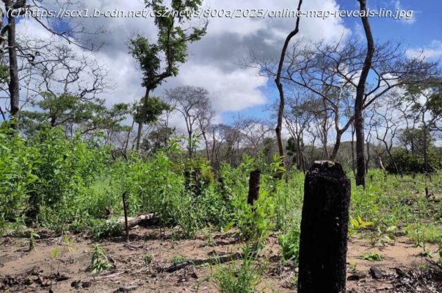
Online map reveals link between deforestation and rises in tropical temperatures Deforestation is leading to temperature increases of up to 5°C in some tropical regions, according to data revealed in a new interactive map created by researchers at the University of Leeds.
Online map reveals link between deforestation and rises in tropical temperatures Deforestation is leading to temperature increases of up to 5°C in some tropical regions, according to data revealed in a new interactive map created by researchers at the University of Leeds.
The online tool has been designed to highlight the important role forests play in moderating local climates and will allow governments, conservation charities and those working in agriculture to investigate what impact different levels of deforestation could have on health, food production and productivity.
It follows recent research by Dr. Carly Reddington and Professor Dominick Spracklen from Leeds’ School of Earth and Environment which showed that deforestation in tropical countries could contribute to increased deaths from heat exposure in nearby populations. The study, which analyzed areas across Central and South America, Africa and South-East Asia, found that local climate heating caused by tropical deforestation has exposed over 300 million people to increased temperatures and is associated with 28,000 heat-related deaths each year.
« This local heating not only has important implications for human health, but also for water security, agriculture, and climate resilience—especially for vulnerable communities across the tropics », said Dr.
Home
United States
USA — IT Interactive map shows deforestation drives up tropical temperatures by up to 5°C


