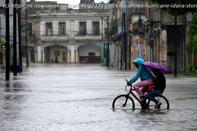
Storm surges near the center of Hurricane Idalia could reach as high as 15 feet, a “life-threatening” level.
New maps showing storm surge predictions from Hurricane Idalia in Florida have begun to circulate online, with some calling the conditions life-threatening.
By Tuesday, Idalia had strengthened from a tropical storm to a Category 1 hurricane, with some models predicting that it could reach Category 3 by the time it makes landfall. On its current path, the storm is expected to hit Florida’s Gulf Coast by Wednesday morning, with the center predicted to pass over the Cedar Key region to the north and heavy impacts felt as far south as Tampa Bay. The storm’s development has been spurred on by unusually warm waters in the Gulf of Mexico, an effect of climate change.
On Tuesday morning, the Weather Channel took to X, formerly Twitter, to share a map of potential storm surge levels along the Florida coast, if the peak surge occurs at high tide.


