The last time the Atlantic failed to produce any named storms between Aug. 13 and Sept. 3 was in 1968 — more than 50 years ago.
Following dire forecasts for an above-normal hurricane season, conditions in the Atlantic have grown eerily calm in recent weeks.
The last time the Atlantic failed to produce any named storms between Aug. 13 and Sept. 3 was in 1968 — more than 50 years ago, according to a new report from researchers at Colorado State University. This was also the first Labor Day holiday weekend without a named storm in 27 years.
“This pronounced quite period is especially remarkable given that it coincides with the time of year where the Atlantic climatologically gets very busy,” the report says.
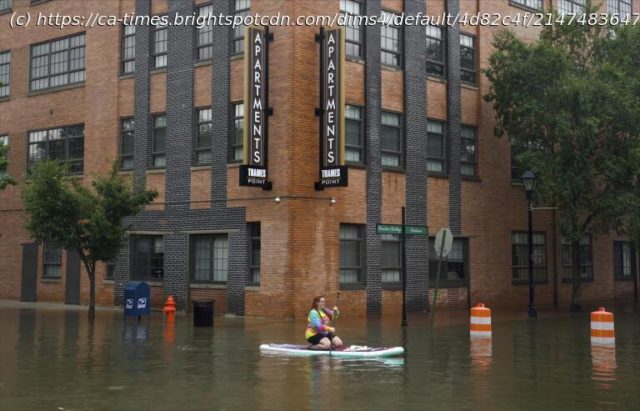
The lull comes after federal officials warned of an 85% chance of above-normal Atlantic hurricane activity with as many as 25 named storms this year. So far, there have been five named storms, three of which became destructive hurricanes: Beryl, Debby and Ernesto.
But experts say it’s too soon to call the season a wrap, and warned that storm activity will probably ramp up in the weeks ahead. The Atlantic hurricane season runs from June 1 to Nov. 30.
“We are a little behind where we should be with five named storms to date,” said Dan Harnos, a meteorologist with the National Oceanic and Atmospheric Administration’s Climate Prediction Center. But “the typical peak of the season is not until Sept. 10, and more hurricane activity historically occurs following the peak than prior to it.”
In fact, it is more common for the second half of the season to see significantly more activity than the first, with August, September and October contributing to 90% of seasonal activity, according to the National Hurricane Center. In 2022, eight hurricanes occurred after Sept. 1.
Still, the reasons for the recent lull are somewhat perplexing.
David Zierden, Florida’s state climatologist, said there are numerous factors that could be at play, including the delayed onset of La Niña, shifting monsoon patterns in West Africa, and Saharan dust activity.
La Niña, a climate pattern in the tropical Pacific that helps drive weather patterns around the globe, was a major factor in the early season outlook. That’s because it tends to reduce wind shear in the tropics, enabling hurricanes to grow in strength, and keeps Atlantic Ocean water warm, which helps fuel storms.
But La Niña has been slower to develop than initially anticipated, and it is now not expected to make an appearance until later this fall.
“There’s still a 60% to 70% chance that it will develop and be in place for the remainder of our hurricane season, so that still seems to be a factor that would indicate a more active season, along with near-record and record-high sea surface and oceanic heat content,” said Zierden, who is also a research associate at Florida State University.
Home
United States
USA — Events After a violent start, the Atlantic hurricane season has gone unusually quiet


