Flooding rains, damaging winds and a dangerous storm surge are expected in a state coping with an uptick in coronavirus cases.
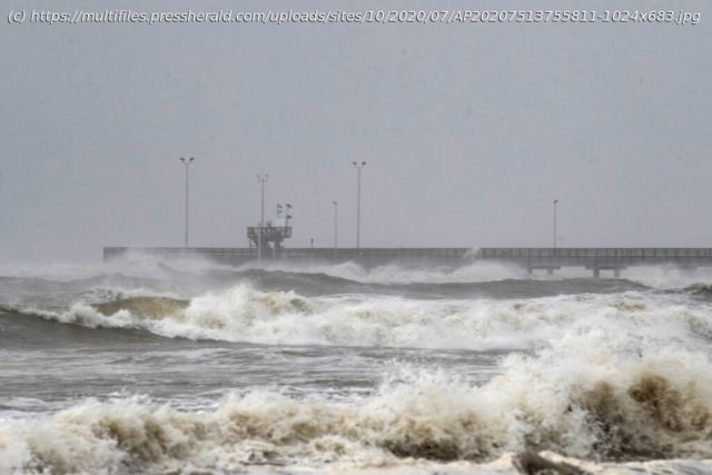
The nation’s first hurricane landfall of 2020 was looming on Saturday, when Hanna strengthened into a hurricane as it geared up to slam into Texas. Strong winds, storm surge, flooding rains and isolated tornadoes are likely where Hanna moves ashore, with landfall set for Saturday afternoon or early evening. It comes as Pacific storm Hurricane Douglas bears down on Hawaii and as two other systems whirl out over the Atlantic. A hurricane warning was hoisted Friday afternoon for a roughly 100-mile stretch of coastline on either side of Corpus Christi, Texas, between Port Mansfield and Port Aransas. A tropical storm warning covers remaining coastal communities from the U. S.-Mexico border north through Port O’Connor. Some of the same areas that were struck by Category 4 Hurricane Harvey on Aug.25,2017, will be hit again. As of Saturday afternoon, the National Weather Service reported “significant structural damage” in Port Mansfield with winds gusting over 80 mph. “Severe damage” was reported to a pier on North Padre Island where nearby winds topped 100 mph. Weather models suggest that Hanna’s center will come ashore near Baffin Bay, south of Corpus Christi. A dangerous storm surge will affect areas just north of where the center makes landfall. The surge is the storm-driven rise in ocean water above normally dry land at the coast. Storm surge warnings extend from near Baffin Bay to Sargent, where the water may rise up to 2 to 6 feet above normally dry land, resulting in coastal inundation. The maximum surge of 4 to 6 feet was predicted between Baffin Bay and Corpus Christi Bay, where the surge was expected to be the highest since Hurricane Allen in 1980.


