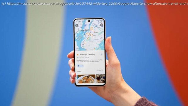
Google Maps will add a new feature that gives public transit and walking alternatives to driving routes.
In an effort to get users to take a bus or train to get to their destinations instead of driving or better yet, use their own two feet, Google Maps is going to have a new feature. Next to the app’s driving routes, Google Maps will show users public transit and walking alternatives that will get the user to his destination without having to grip a steering wheel. These alternatives will appear “if travel times are comparable and practical.” Google announced this today in a blog post.
The alternative public transit and walking suggestions will appear on the bottom of the screen in a card that says, “Also consider” which will include a preview of the alternative actions recommended.
Home
United States
USA — IT Google Maps to show alternate transit and walking directions along with driving...


