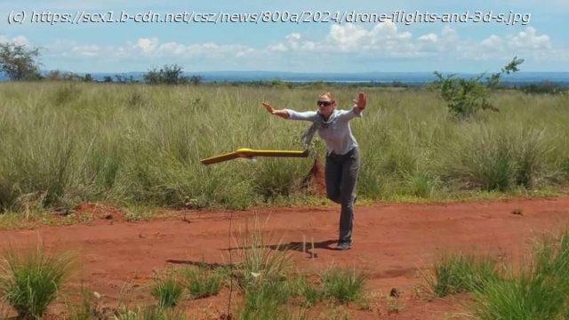
In a new study published today in the journal Plants, People, Planet, scientist Jenny Williams from the Royal Botanic Gardens, Kew, highlights how the use of drones can help curb the loss of Madagascar’s biodiverse forests through illegal deforestation.
In a new study published today in the journal Plants, People, Planet, scientist Jenny Williams from the Royal Botanic Gardens, Kew, highlights how the use of drones can help curb the loss of Madagascar’s biodiverse forests through illegal deforestation.
The study, which focused on the Ambohimahamasina humid forest in the southeast of the island, arises from a series of 19 ultra-high-definition drone surveys undertaken by the study’s author, senior spatial analyst, Williams.
The resulting data and 3D base maps have led to the creation of an effective alert system and will help other scientists, government agencies and local communities enact forest management policies that will not only protect Madagascar’s natural resources but help facilitate immediate on-the-ground responses to deforestation.
Madagascar is widely regarded for its exceptional biodiversity, which has evolved over 80 million years in near total isolation. More than 80% of all plants and 90% of all animals found on the island are endemic, meaning they are found nowhere else on the planet. However, Madagascar is also one of the world’s poorest nations and the pressures caused by poverty and the need to support livelihoods is putting the island’s biodiversity under increasing strain.
The Ambohimahamasina forest is part of the Ambositra-Vondrozo Forest Corridor Natural Resource Reserve (COFAV), a biodiversity-rich corridor representing one of Madagascar’s last remaining intact forests.
Start
United States
USA — IT Drone flights and 3D scans: Scientist uses cutting-edge tech to protect Madagascar's...


