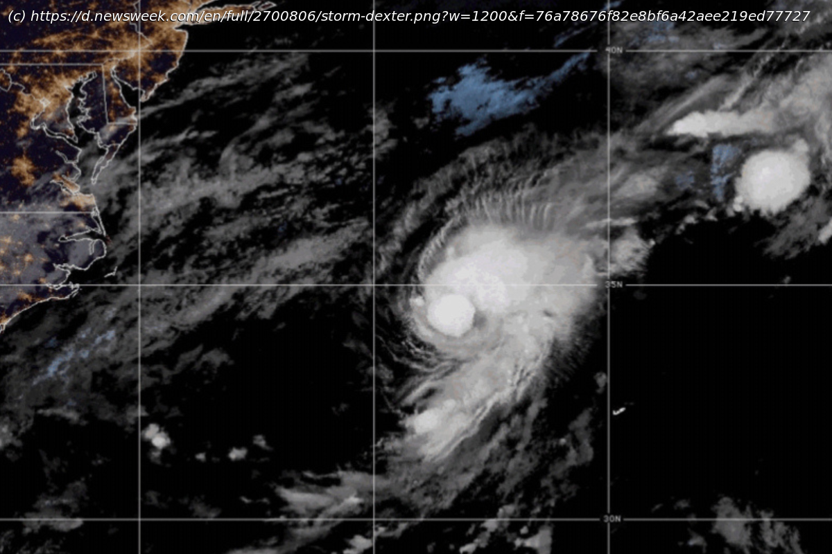
Erin could become not only the first hurricane of the season but also its first major hurricane.
Tropical Storm Erin is tracking across the Atlantic, but while some models show it nearing parts of the southeastern United States, forecasters say the chances of a direct impact remain low.Why It Matters
The Atlantic hurricane season began on June 1 and runs through November 30. Tropical Storm Erin is the fifth named storm of the season and the second to form this month, following Tropical Storm Dexter, which fizzled out over the ocean in the first week of August.
Erin could become a major hurricane, a designation that occurs when a storm’s wind speeds reach 111 mph or higher, classified as a Category 3 hurricane. Should it strengthen as meteorologists expect, Erin could become not only the first hurricane of the season but also its first major hurricane.What To Know
The latest spaghetti models—a collection of forecast tracks from various meteorological agencies—indicate that Erin could make landfall anywhere from the North and South Carolina to the southeastern corner of Virginia, with models predicting category 1-4 wind speeds.
The worst impacts could be felt on North Carolina’s Atlantic coast, with wind speeds reaching up to 130-156 mph, which can cause severe structural damage and force large-scale evacuations.
However, some forecasts show lower category 1 or 2 wind speeds of up to 110 mph in the state, which can result in roof damage and flooding.
But most models show the storm is unlikely to make landfall in the U.S.
“US hit looks unlikely”, NBC Miami meteorologist John Morales said in a post on X, adding that a Caribbean hit also looks unlikely. But meteorologist and hurricane specialist Dylan Federico urged the Leeward Islands in the Caribbean to “pay close attention” as models have “trended a bit south”, raising the possibility of a major hurricane passing “uncomfortably close this weekend.” Erin’s “large size”, he added, could bring impacts even without a direct hit.
Some meteorologists also caution that it is too soon to rule out land impacts.
WINK chief meteorologist Matt Devitt described it as “not the best of trends”, but stressed it’s “still early” and could “snap back east (windshield wiper effect).” He warned against drawing conclusions from “12 hours of data”, saying the “US East Coast is not out of the woods yet. just monitor for now.”
Similarly, FOX meteorologist Noah Bergren said “odds favorite currently would be listed as ‘out to sea'” for the eventual track, but that those odds have dropped after new model runs showed “a much further west potential path.” He advised watching “how things trend” in coming days.
AccuWeather’s storm timeline forecasts Erin will become a Category 1 hurricane by Thursday afternoon, well east of the Lesser Antilles, then intensify to a major hurricane with winds of 111 mph or greater within 48 hours. It is expected to remain a major hurricane until Sunday around 2 p.m. before downgrading to Category 2 and maintaining that strength through Monday afternoon.
The National Hurricane Center (NHC) also expects Erin to reach major hurricane status, but by late Saturday morning.What People Are Saying
The National Hurricane Center said in a Monday update: “Regardless of development over the next couple of days, the system is expected to continue moving westward to west-northwestward at 15 to 20 mph across the eastern and central tropical Atlantic.”
AccuWeather Senior Meteorologist Chad Merrill said in a report: “The upper air pattern late week favors it turning north and likely staying east of the U.S. East Coast. However, there can be an increase in rough surf and rip currents along the East Coast beaches next weekend into early the following week.”What Happens Next
NHC meteorologists will continue to monitor the system as it progresses.