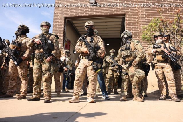
Confronted with the enormity of covering President Trump’s anti-immigration operation in Chicago, we’re turning to the public for help.
As editors and reporters in the Chicago Sun-Times/WBEZ newsroom geared up for President Trump’s proclamation earlier this month that he intended to send the National Guard to Chicago, we asked ourselves: How could we possibly cover the deployment of troops and more ICE agents if the operation was large and dispersed?
One avenue? Engage the public.
(As we published this story, Trump announced that he would be sending the National Guard to Memphis instead. The administration’s anti-immigration operation in Chicago continues.)
So interactive developer Andjela Padejski and Chicago Public Media’s AI fellow Mark Chonofsky got to work on a simple concept: Let’s enable members of the community to send in sightings of feds to illustrate the geographic deployment — where they are — and, secondarily, document scenes on the ground. The result would be photo submissions on a map of Chicago (we’ll publish the map once photos come in).


