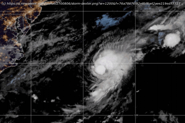
Erin could become not only the first hurricane of the season but also its first major hurricane.
Tropical Storm Erin is tracking across the Atlantic, but while some models show it nearing parts of the southeastern United States, forecasters say the chances of a direct impact remain low.Why It Matters
The Atlantic hurricane season began on June 1 and runs through November 30. Tropical Storm Erin is the fifth named storm of the season and the second to form this month, following Tropical Storm Dexter, which fizzled out over the ocean in the first week of August.
Erin could become a major hurricane, a designation that occurs when a storm’s wind speeds reach 111 mph or higher, classified as a Category 3 hurricane. Should it strengthen as meteorologists expect, Erin could become not only the first hurricane of the season but also its first major hurricane.What To Know
The latest spaghetti models—a collection of forecast tracks from various meteorological agencies—indicate that Erin could make landfall anywhere from the North and South Carolina to the southeastern corner of Virginia, with models predicting category 1-4 wind speeds.
The worst impacts could be felt on North Carolina’s Atlantic coast, with wind speeds reaching up to 130-156 mph, which can cause severe structural damage and force large-scale evacuations.
Home
United States
USA — Events Tropical Storm Erin Spaghetti Models Show Where Hurricane Could Hit US


